Drones gaze at the stars to enhance their stealth capabilities.

Drones look to the stars to make themselves stealthier (Image Credit: Space.com)
A new celestial navigation system designed for drones could make them harder to detect by eliminating the need for GPS signal emissions.
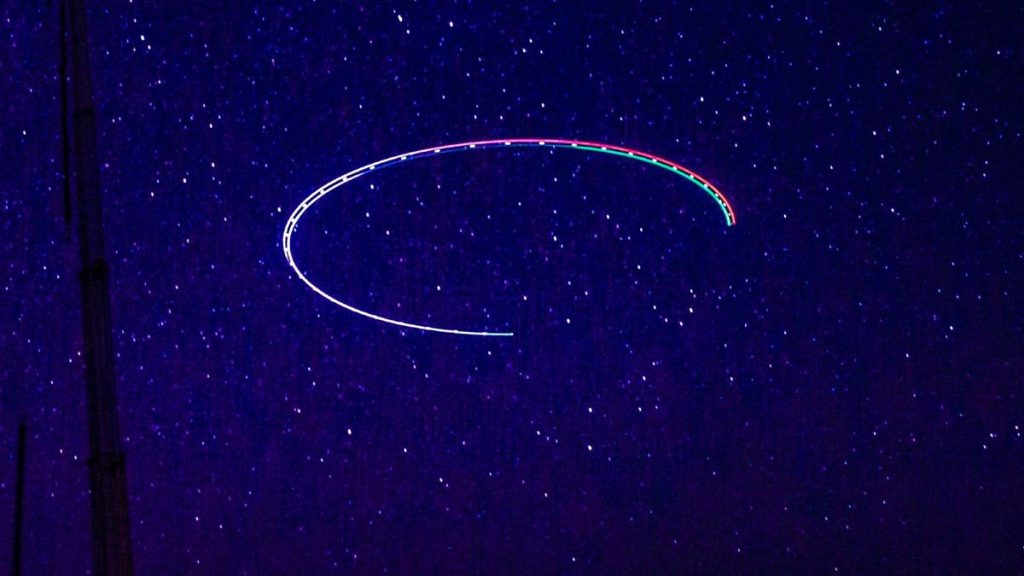
Scientists from the University of South Australia have developed a new navigation system that allows uncrewed aerial vehicles (UAVs) — or drones, as they’re more commonly known — to sense their location based on the stars in the night sky.
Such a system could make drones harder to detect and more resistant to jamming attacks that deny or disrupt GPS signals, one of the most common forms of long-distance navigation and positioning.

Celestial navigation, as this technique is known, has been used by humanity for thousands of years. Aircraft and spacecraft have used similar systems for decades, but this new system is designed to be low-cost and lightweight enough to be used on smaller drones, according to the researchers developing it.
“Unlike traditional star-based navigation systems, which are often complex, heavy and costly, our system is simpler, lighter and does not need stabilization hardware, making it suitable for smaller drones,” said Samuel Teague of the University of South Australia (UniSA), in a statement.
The new system combines visual observations of the stars with standard autopilot technologies. In tests of the system using a fixed-wing UAV, researchers were able to pinpoint the drone’s position within 2.5 miles (4 kilometers).
Such a capability could be used to operate drones in areas where GPS signals are jammed or degraded due to electronic warfare. This type of warfare targets the electromagnetic spectrum, through which radio signals and other emissions pass.
The researchers behind this new celestial navigation system say it could help not only with military missions, but also in peacetime operations like Earth observation.
“We have developed a navigation method that’s resilient, independent of external signals, and achievable with low-cost, easily accessible components. This makes it applicable to a variety of UAVs, from commercial drones to more advanced defense applications,” UniSA scientist Javaan Chahl said in the statement.
“For instance, in environmental monitoring over remote locations or long-endurance surveillance missions where GPS might be unavailable or compromised, this technology offers a valuable new capability,” Chahl said.
Russia has repeatedly jammed GPS signals in Ukraine throughout its nearly three-year invasion of the nation, using mobile jammers mounted on trucks. The U.S. Space Force has been developing and testing similar systems of its own.
But on the other hand, the capability to operate drones without the need to transmit and receive GPS signals could make it harder for militaries and other security forces to detect and defend against UAVs.
Several high-profile drone incursions above military facilities or sensitive facilities like nuclear power plants have shown that UAVs are already skirting air defense systems and pose a new threat for which there is no easy solution.
And as the ongoing war in Ukraine shows, the future of air warfare will likely move away from large, expensive fighter jets crewed by human pilots and toward smaller, less expensive drones that are easy to replace.
With that being the case, creating small, inexpensive celestial navigation systems will likely only accelerate the already-burgeoning future of drone warfare.
This research was published last month in the journal “Drones”.


