Rheinmetall and ICEYE will deliver satellite imagery to Ukraine, while ICEYE has teamed up with Aechelon Technology for SAR satellite and machine learning technology solutions.
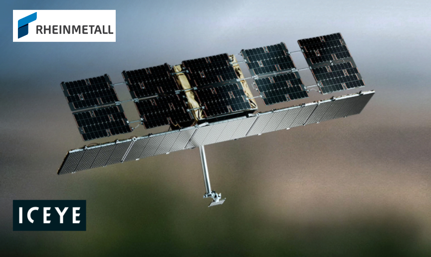
Rheinmetall + ICEYE to provide satellite imagery to the Ukraine — plus — ICEYE + Aechelon Technology partner for SAR satellite and ML technology solutions (Image Credit: Sat News)
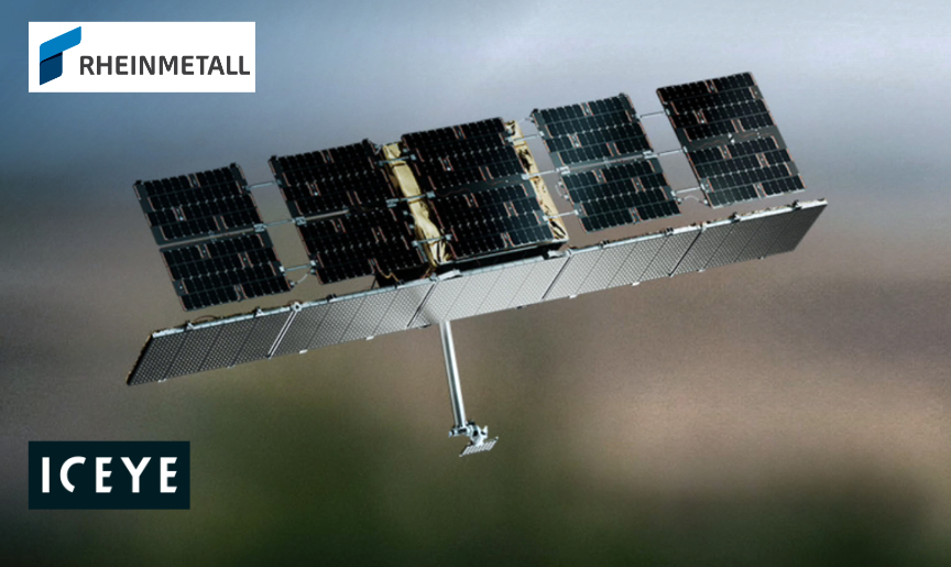
The strengthened cooperation between Rheinmetall and SAR satellite company ICEYE, announced in September 2024, is already bearing fruit — to meet Ukraine‘s urgent demands for SAR satellite reconnaissance capabilities, Rheinmetall and Ukraine, supported by the German government, have signed a contract.
The agreement further increases the SAR data and other support Ukraine has been receiving from ICEYE during the war. Since early October 2024, Ukraine receives new satellite images taken by ICEYE’s SAR (Synthetic Aperture Radar) satellites, under the collaboration between Rheinmetall and ICEYE.
This provision will supplement further reconnaissance data obtained by other sensors and provide the basis for decision-making and operational planning by the Ukrainian armed forces. The collaboration includes dedicated satellite capacity and constellation access, which allows the capacity of the entire ICEYE satellite fleet to be utilized. Since 2018, ICEYE has launched 38 satellites for ICEYE’s and its customers’ use.
SAR satellites offer the advantage over conventional satellites that they can generate high-resolution images regardless of weather conditions or time of day. These are very detailed and make even the smallest objects on the Earth’s surface identifiable. This can bring decisive advantages for the armed forces in terms of surveillance, target acquisition, reconnaissance or their own positioning on the battlefield.
In June of 2024, the Düsseldorf-based technology group announced its participation in the world’s largest fleet of radar reconnaissance satellites. In September 2024, Rheinmetall and ICEYE had further intensified their cooperation. In the course of this, Rheinmetall had secured exclusive rights to market the SAR (Synthetic Aperture Radar) satellites to military and government end users in both the German and Hungarian markets.
ICEYE has been working closely with the Ministry of Defence of Ukraine to support and help Ukraine in building space defence capabilities. In August of 2022, ICEYE announced a contract with the Serhiy Prytula Charity Foundation to provide the Government of Ukraine with ICEYE’s SAR satellite imaging capabilities with one of ICEYE’s SAR satellites designated for the Government of Ukraine’s use over the region.
ICEYE also provides access to its constellation of SAR satellites, allowing the Ukrainian Armed Forces to receive radar satellite imagery on critical locations. In July of 2024, ICEYE and the Ministry of Defence of Ukraine signed a Memorandum of Cooperation outlining partnering to strengthen Ukraine’s space defence capabilities.
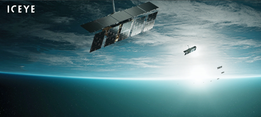
Aechelon Technology Inc. and ICEYE are partnering to bring cutting-edge synthetic aperture radar (SAR) satellite technology with real-time sensor fusion and machine learning (ML) exploitation capabilities to the market.

This collaboration will deliver enhanced 3D electro-optical/infrared (EO/IR) situational awareness solutions, providing unparalleled insights for national defense, emergency response, and allied operations.
This innovative partnership integrates ICEYE’s advanced SAR satellite constellation with Aechelon Technology’s expertise in real-time, GPU-driven, multi-spectral, 3D processing. The joint solution will empower decision-makers with intuitive, high-resolution, 24/7 SAR imagery, unaffected by night, weather or smoke, ensuring quick and effective responses to global events.
ICEYE owns and operates the world’s largest SAR constellation, offering near real-time, EO capabilities. This partnership enhances ICEYE’s mission to deliver reliable, actionable information to global defense and response agencies.
Aechelon Technology’s advanced, digital twin processing capabilities will fuse multiple ISR (Intelligence, Surveillance, and Reconnaissance) data sources, providing users with an in-context, realistic 3D representation of ICEYE’s SAR data, powered by ICEYE’s live ISR exploitation. This high-fidelity visual representation will assist leaders in making informed, rapid decisions with a natural understanding of real-time events.
In support of the collaboration, Aechelon will deploy Image/Sensor Generators at mobile ground testing stations in Finland for field evaluations with allied nations, and in the United States for ICEYE’s U.S.-exclusive solutions.
Through this partnership, ICEYE and Aechelon Technology are committed to delivering transformative real-time capabilities, offering defense and response agencies a decisive edge in rapidly changing environments.
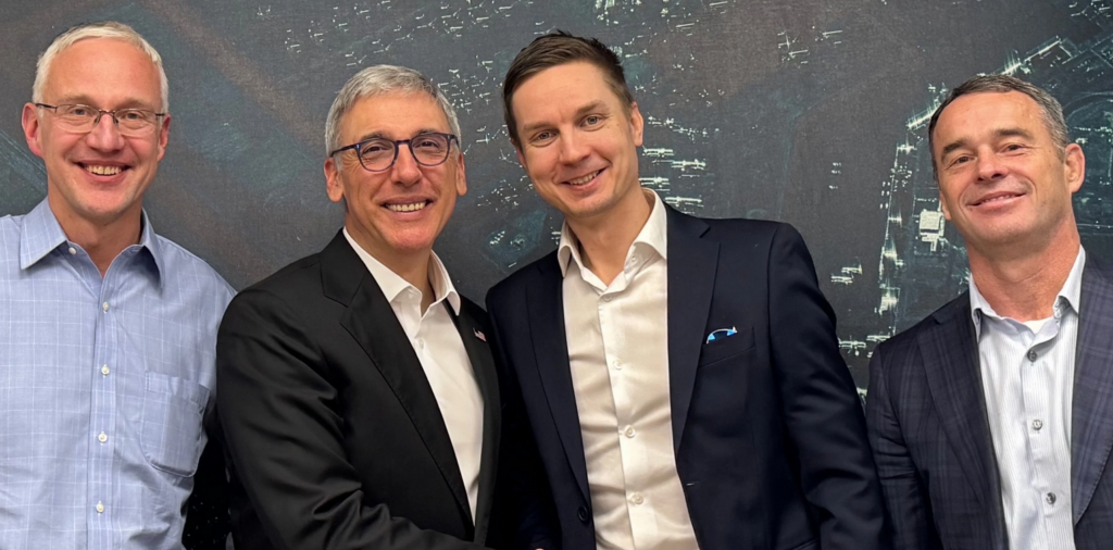
“Meeting the ICEYE team in Finland and seeing their commitment to innovation firsthand was a career highlight,” said Javier Castellar, Co-Founder & Chief Strategy Officer of Aechelon Technology. “Their relentless pursuit of technological advancement shows that the future is now. Together, our companies will provide the US and allied nations with precise, on-demand situational awareness, overcoming the limitations of weather, smoke, and night conditions. This solution not only enhances national security but also provides unique capabilities for first responders in times of natural or man-made crises, ensuring help reaches those in need when it matters most.”
“ICEYE is excited to partner with Aechelon Technology and combine the capability of the world’s largest SAR satellite constellation with Aechelon’s world leading global database and simulation capabilities to provide customers with unparalleled situational awareness and decision making capabilities. Aechelon Technology and ICEYE both have a culture of driving innovation and serving the most demanding customers in the US and allied national security sectors so we think we are very well positioned to work together,” said ICEYE’s Co-founder and Chief Strategy Officer Pekka Laurila.


