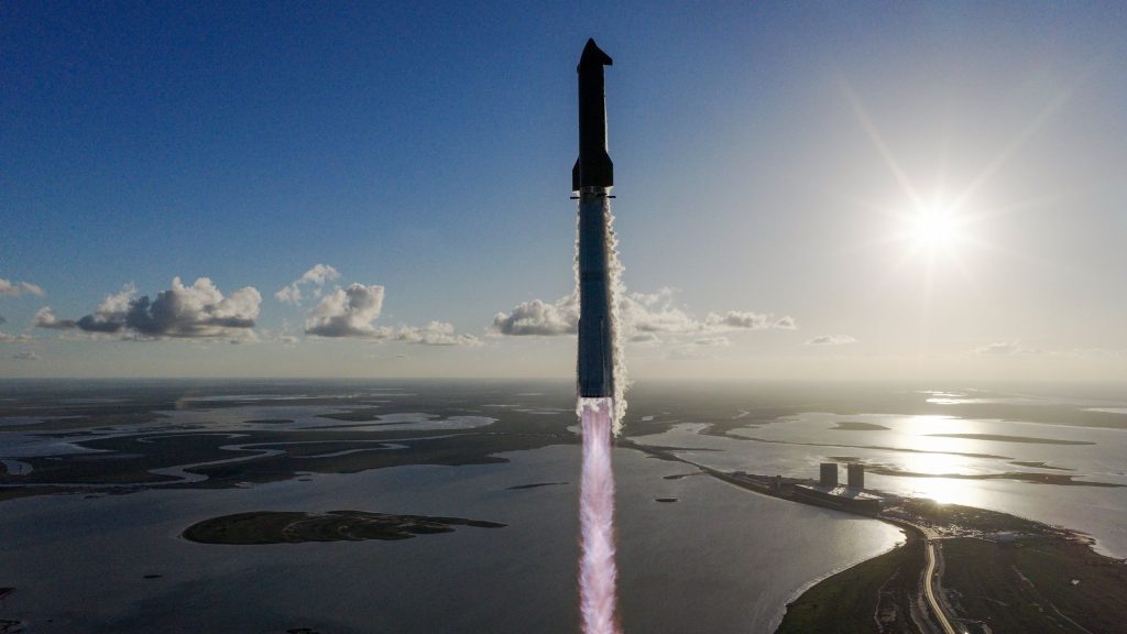
Silicon Sensing marks the fourth anniversary of its IMU aboard the iQPS small SAR satellite.
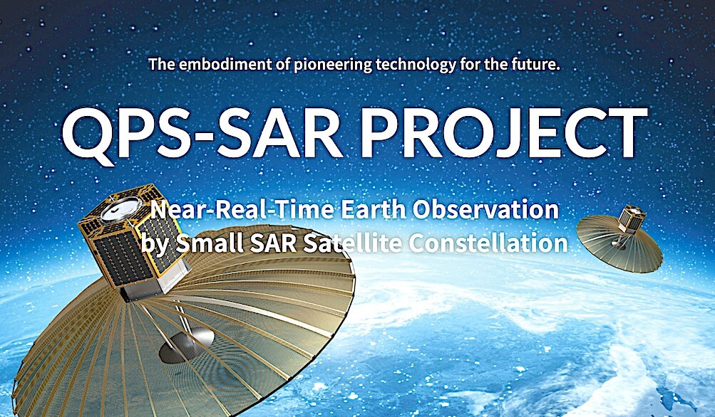
Silicon Sensing celebrates its IMU’s fourth year on the iQPS’ small SAR satellite (Image Credit: Sat News)

Silicon Sensing Systems’ DMU30 high performance inertial measurement unit (IMU) continues to perform within the control system of Japan’s first X-band synthetic aperture radar (SAR) small satellite from the Institute for Q-shu Pioneers of Space, Inc. (iQPS) of Fukuoka, Japan.

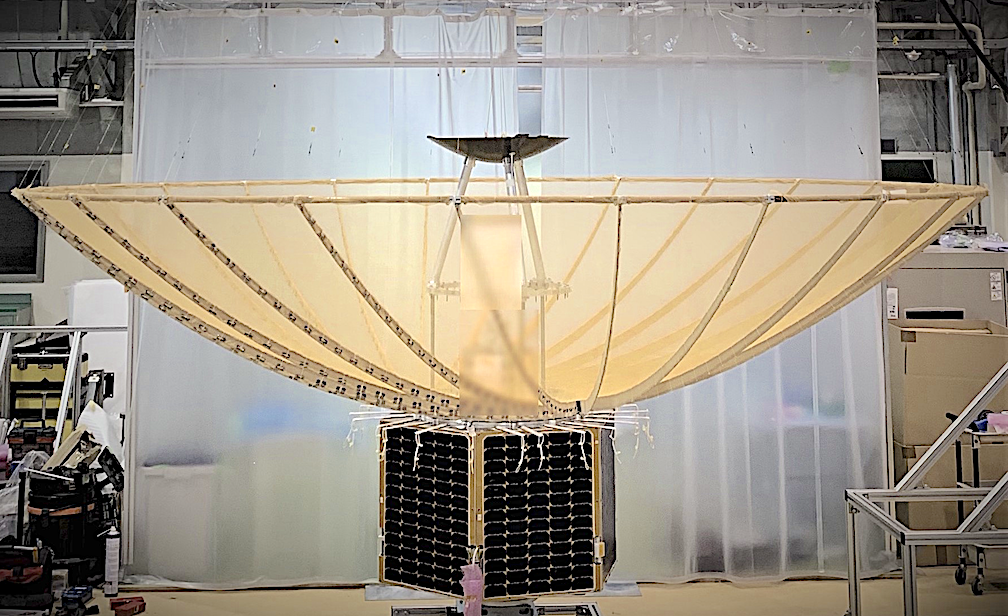
On board the iQsdPS satellite the DMU30 commences operation immediately after separation from the launch rocket and continues throughout each mission, working with other systems to monitor and control angular velocity and attitude angle and to assess and correct any rocking motion that occurs as key structures, such as the large antenna, are deployed.
David Somerville, General Manager Silicon Sensign comments, “In this environment our MEMS technology offers key advantages over traditional high-performance inertial options such as fiber optic and ring laser gyro devices. This IMU can match the performance of a FOG unit but in a much more compact and rugged unit, ideal for severely space and weight limited platforms such as the iQPS satellite — for prolonged operations in extreme environments.”
The iQPS satellite is a 1m resolution, high-performance, X-band SAR-satellite weighing only 100Kg. These are deployed in a group of 36 which, together, offer Earth observation data to support tasks such as disaster management as well as land and infrastructure surveying.
In 2020, Masahiko Uetsuhara, Project Manager, iQPS explained, “Normally a gyro sensor’s output will include errors that appear over time and with severe temperature change and we would need to calibrate for that, but with the DMU30 that calibration is not required. This reduces man-hours and improves work efficiency, both very important factors for us. This product is also technically reliable, has been proved in satellite projects, is ITAR free — and the price was attractive for this level of performance.”
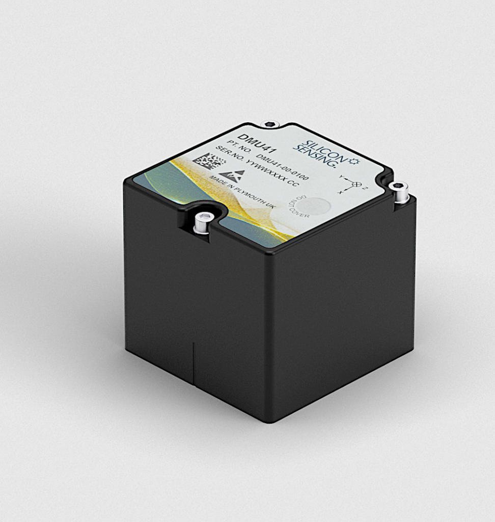
The highly successful DMU30 silicon MEMS IMU is the predecessor to Silicon Sensing Systems’ latest generation IMU, the DMU41.
iQPS (Institute for Q-shu Pioneers of Space) is a space start-up founded in 2005 by two Emeritus Professors of Kyushu University and a rocket developer to establish the space industry in the Kyushu region in Japan. The goal of iQPS small SAR satellite project is to deliver a near real-time data provision service. In December 2019 iQPS launched its first small SAR satellite ‘Izanagi’ and planning to launch its second satellite ‘Izanami’ in the late 2020. For further information.
Silicon Sensing Systems Ltd is a gyroscope and inertial systems engineering development company, jointly owned by Collins Aerospace and Sumitomo Precision Products. The company was formed in 1999 and is, today, a market leader in silicon, micro electro-mechanical systems (MEMS)-based navigation and stabilization technology. Approaching 40 million MEMS gyroscopes and accelerometers have been supplied to thousands of customers since the company’s formation.


